Spin




Measurements
Method / sources
Reading the field
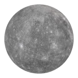
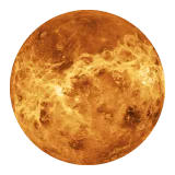
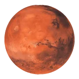
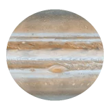
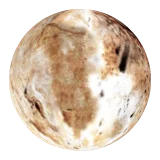
Every phase uses one shared clock. Axis angle is obliquity to the world's own orbit; signed sidereal periods preserve retrograde motion. Each equirectangular map is projected onto a sphere and advances by its world's signed sidereal angle. The surface-projected ._. mark identifies the map's zero-hour longitude; it is a visual guide, not a tracked geophysical feature.
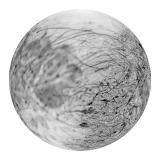
Titan and Europa remain visible, but their axes are dashed until a compatible obliquity record clears the data gate.
Pluto's encounter-opposite hemisphere has incomplete coverage. Uranus uses a longitude-neutral zonal approximation because it has no mappable solid surface; its guide still records the resolved phase.
Records
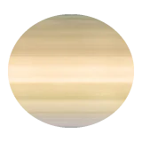
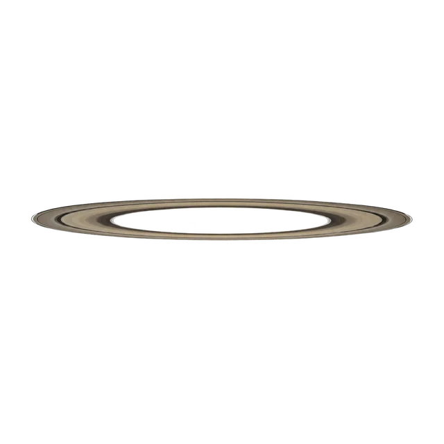
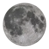
Dataset 0.1. Rotation: NASA/JPL and IAU/WGCCRE. Obliquity: NASA NSSDC archived fact sheets. The static fallback is an unlit render of a global map onto the world's measured ellipsoid — a model, not a photograph. Sphere maps and rendered fallbacks:
- Mercury global map — Solar System Scope, CC BY 4.0, from NASA/MESSENGER imagery
- Venus surface map — Solar System Scope, CC BY 4.0, from NASA/Magellan radar data
- Earth day map — Solar System Scope, CC BY 4.0, from NASA Visible Earth imagery
- Mars global map — Solar System Scope, CC BY 4.0, from NASA/Viking and MOLA data
- Jupiter cloud map — Solar System Scope, CC BY 4.0, from NASA imagery
- Saturn cloud map — Solar System Scope, CC BY 4.0, from NASA/Cassini imagery
- Uranus zonal map — Solar System Scope, CC BY 4.0, from NASA/Voyager 2 observations
- Neptune zonal map — Solar System Scope, CC BY 4.0, from NASA/Voyager 2 observations
- Moon global map — Solar System Scope, CC BY 4.0, from NASA/LRO imagery
- Titan global texture — NASA 3D Resources
- Europa global texture — NASA 3D Resources
- Pluto global texture — NASA 3D Resources